Embargoed Areas
People intending to compete at the Central Districts Orienteering Champs need to make themselves familiar with embargoes in place for the event. Embargoes are areas that are out of bounds to competitors prior to the events, and cover the areas being used in the competition. This prevents unfair prior knowledge being gained about the terrain and map features.
The following embargoes are in place for the CD Champs:
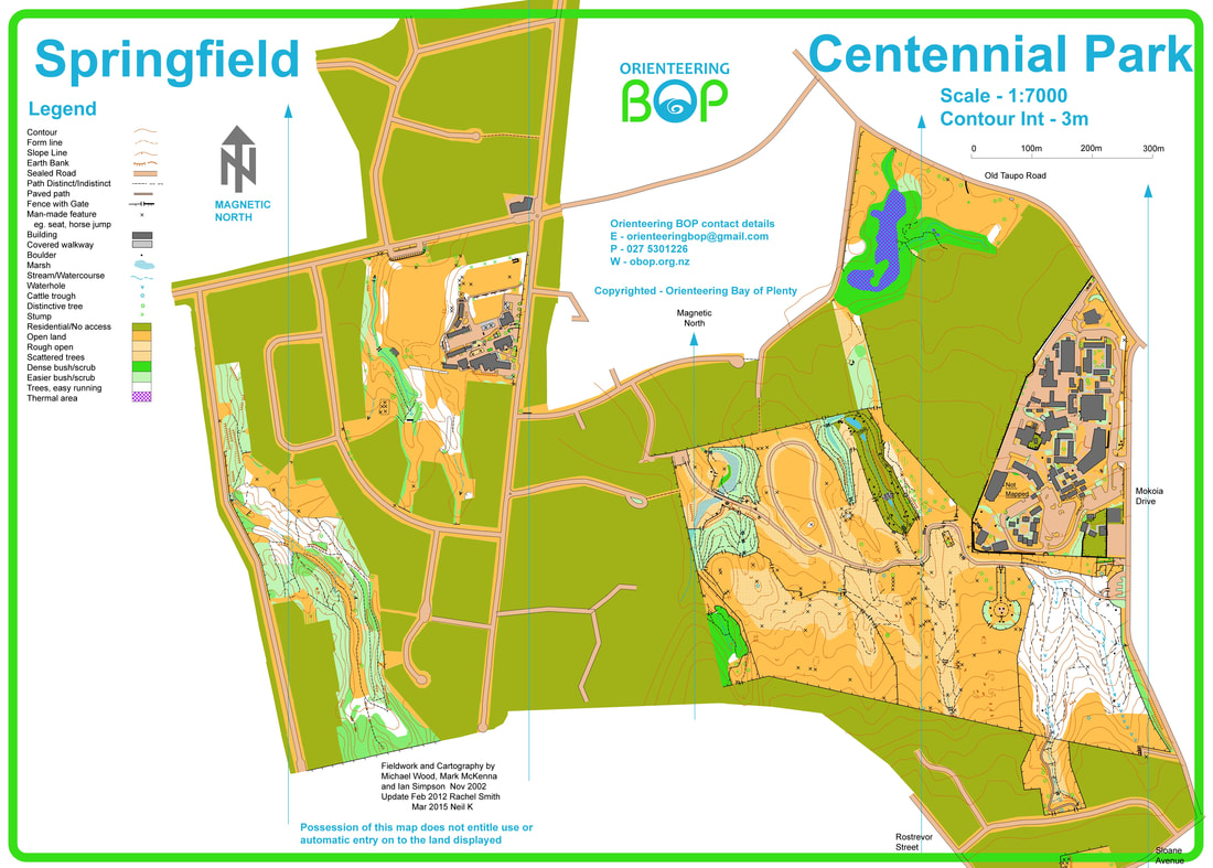
Centennial Park and Toi Ohomai Campus
Competitors may not enter either of these areas carrying or using any map or navigational aids. We recognise these are public places that people need access to, however there must be no entering of these areas with the purpose of becoming familiar with map features and terrain.
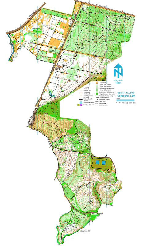
Redwoods and Whaka Forest
This area covers the Redwoods, adjacent dog walking area, and Whaka Forest for the area extending approximately 1km South from the end of long mile. Competitors may not enter these areas carrying or using any map or navigational aids. We recognise these are public places that people need access to, however there must be no entering of these areas with the purpose of becoming familiar with map features and terrain. Access to these areas as part of other planned orienteering events is allowed (an MTBO event is planned for part of this area in September).
Okareka
The Okareka map is located on an area of private property on the South side of Lake Okareka. This is not open to public and may not be accessed at all prior to the CD Champs.
Maps
The following relevant maps have been used in previous orienteering events
Middle Earth |
Centennial Park |


